World > Africa > Bouvet Island
|
|
Bouvet Island |
Introduction:
|
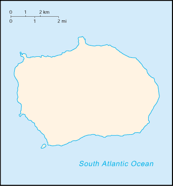
This uninhabited volcanic island is almost entirely covered by glaciers and is difficult to approach. It was discovered in 1739 by a French naval officer after whom the island was named. No claim was made until 1825, when the British flag was raised. In 1928, the UK waived its claim in favor of Norway, which had occupied the island the previous year. In 1971, Bouvet Island and the adjacent territorial waters were designated a nature reserve. Since 1977, Norway has run an automated meteorological station on the island. |
|
Map of Bouvet Island
|
|