Lifting off in a cloud of dust, our scout ship heads for Mariner
Valley.
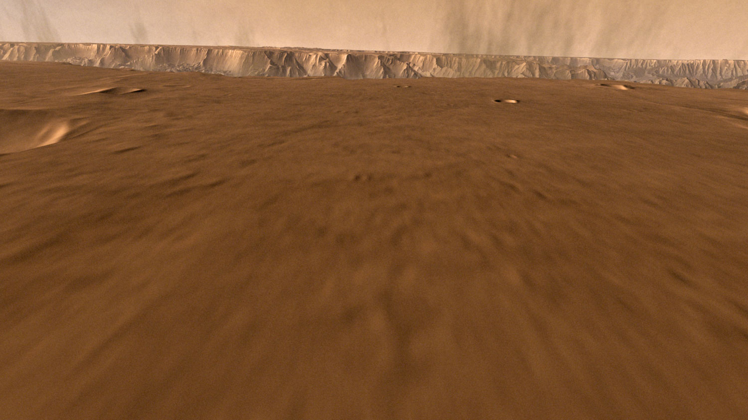
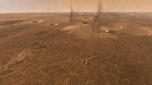
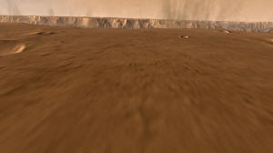
A swarm of tornado-like dust devils
whirls across the mesa, just as in the deserts on Earth.
Dodging them, we pass impact craters, where large meteorites
violently struck long ago.
Dead ahead, in our race toward the rim, winds are blowing dust
clouds up the valley slopes.
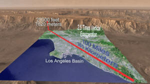
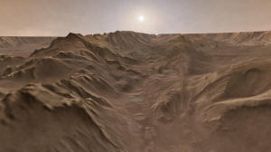
Mariner Valley is 10 times longer, 5 times deeper, and 20 times
wider, than Earth's Grand Canyon.
You could drop the entire Los
Angeles basin inside with loads of room to spare.
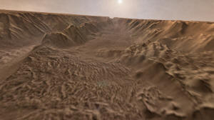
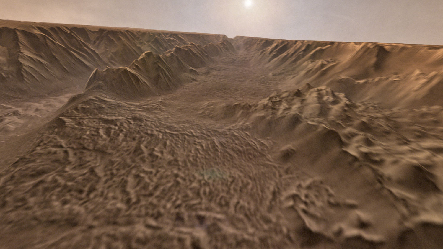
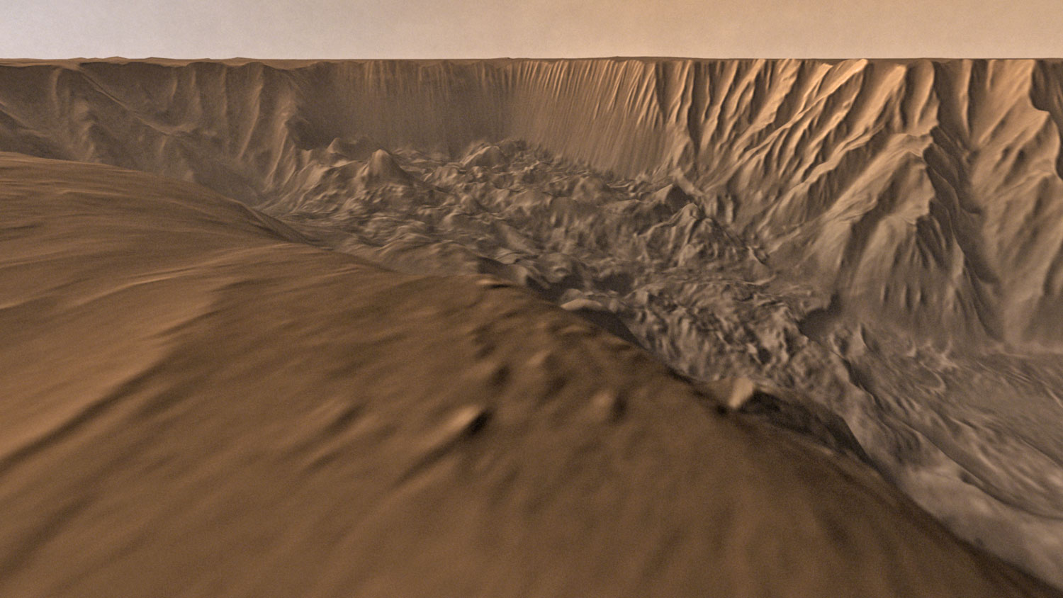
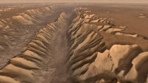
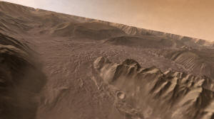
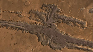
Looking westward, all along the valley's length we find giant
landslides that tumbled off its steep,
rugged walls, leaving numerous rocky
spurs and narrow gullies.
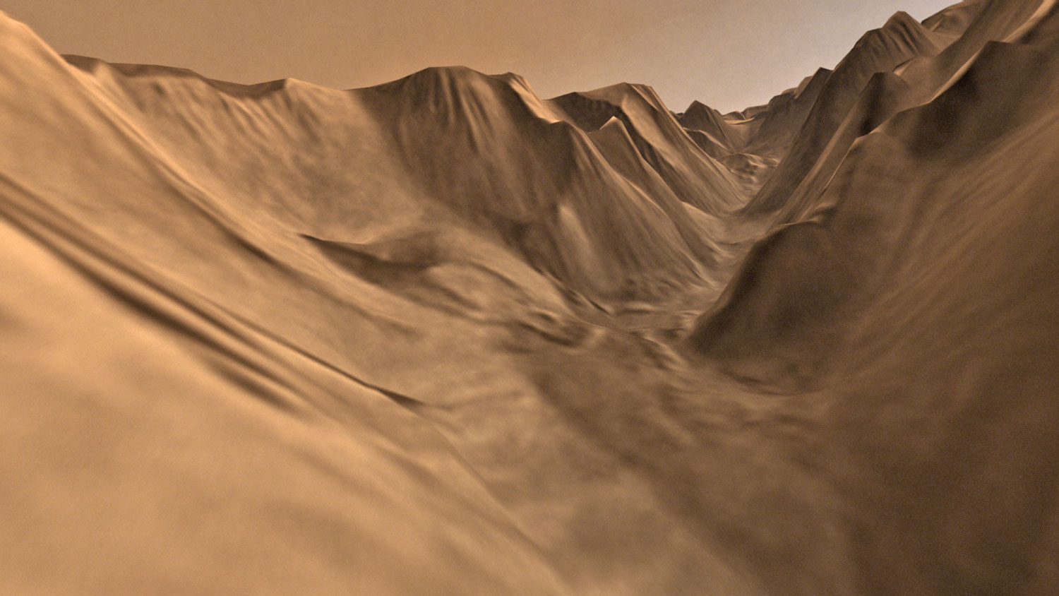
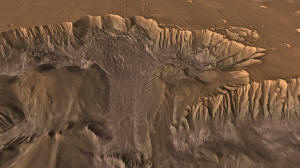
Flying up a tributary side canyon...

...we find it twists and turns in a stream-like way.
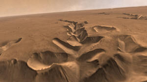
Geologists think this side canyon was born as groundwater
escaped and the surface collapsed.

Several more tributary canyons cut into the valley's rim.
These also grew where groundwater
undermined the surface.
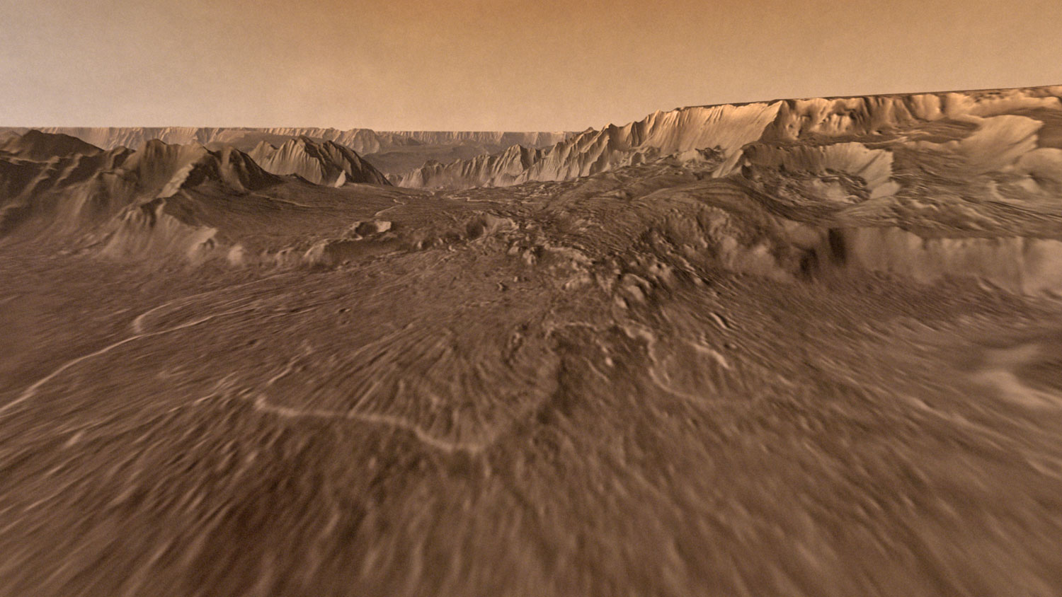
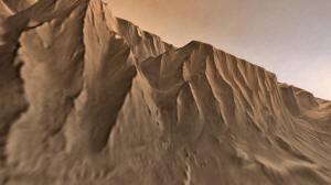
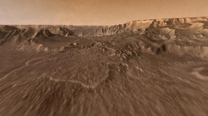
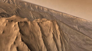
The valley walls run far into the distance.
Its cliffs and ridges were born
through earthquake faulting,
the main geologic force that began
to open the valley, billions of years ago.
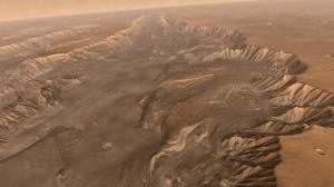
Tucked in the valley's widest part - Melas Chasma -
are many
layers of dust, sediments, and rock.
Each records a slice of time and fills a few pages in the
geological record.

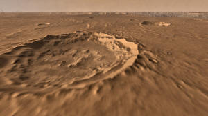
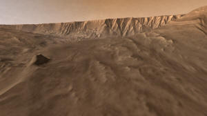
Ahead lies a catastrophic landslide that crashed down 15,000
feet,
and shot debris nearly 100 miles
across the valley floor.
Beyond the landslide lies another basin containing more layered
deposits.
These offer glimpses of the past and record part of the valley's
complex geological story.
Farther into the basin,
the floor is covered by hills made of
layered sediments whose origin remains a puzzle.
Winds blowing for millions of years sculpted the soft ground
into long ridges.

Turning up a narrow canyon .... and sailing over a gullied
ridge,
we fly into Ophir Chasma.
Here lie more sediments, wind-carved ridges,
and a steep wall,
with rock rubble heaped at its foot.

A long parade of landslides widened the valley,
collapsing walls
made of hard, volcanic rock.
A flight through Mariner Valley gives us an exciting glimpse of
its geological complexity.