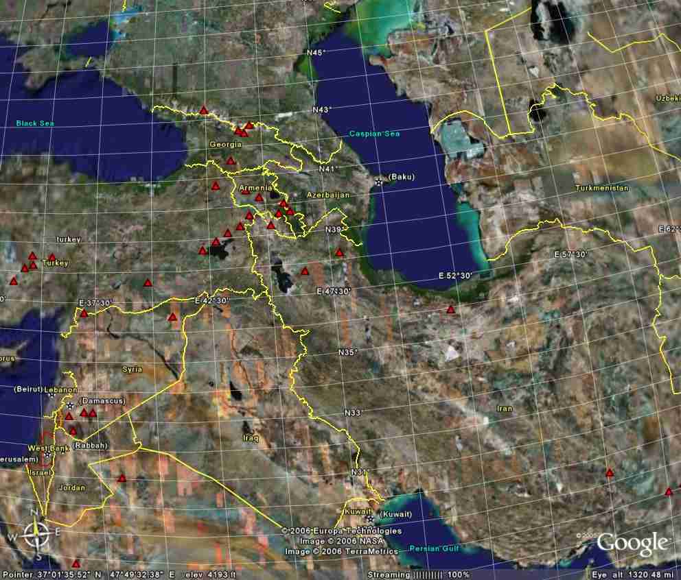
Google Earth image of Middle East showing geographic coordinates and international boundaries. Note Lake Van (dark body of water) near the eastern end of Turkey. This is in the Taurus Mountains.
The first Kharsag colony, that which we call Kharsag 1, was established to the southwest of that location. After the Earth's upheaval due to the close encounter with Mulge-Tab (Venus) about 12,000 years ago, Kharsag 2 was built close to the western shore of the lake.
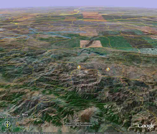
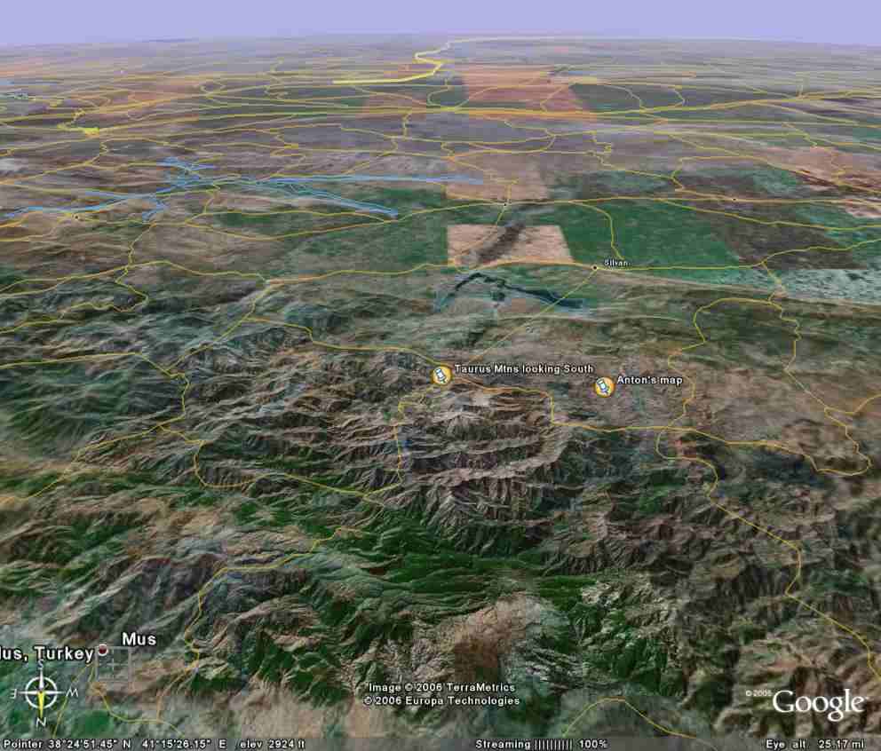
Google Earth view over the Taurus Mountain region looking to south. "Anton's Map" marks the center point of a map that Parks was using. Note the town of "Mus" to the lower left.
An unexpected
curiosity, as Muš is the Emenita word for reptile (see
Decoder).
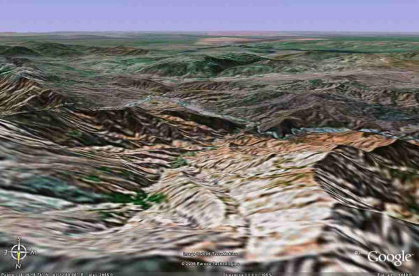
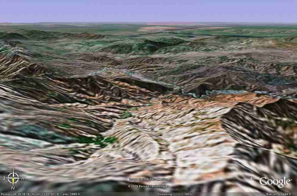
Another view looking south from close to the map pointer in the preceding. Note along bottom that this is close to the resolution limit of Google, one reason that we went to landscape renderings using
Digital Elevation Model (DEM) data.
Our imagery is going to need to get "right down to the ground", seamlessly.
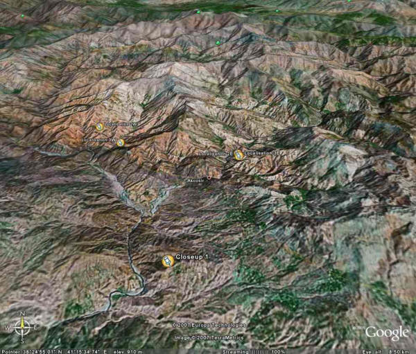
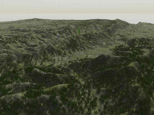
Several trial locations, looking north. This image contains a stunning find: a hilltop bearing the name "Akcosir". Please see the
Decoder for the decomposition of this name, and the many ways in which it points to serpents and food production.
Current web searches have turned up no further information on Akcosir. Most significantly, Parks had already selected "2E" as the site of the post-flood Kharsag 2 (in our terminology) before the Akcosir name appeared in a Google Earth image.
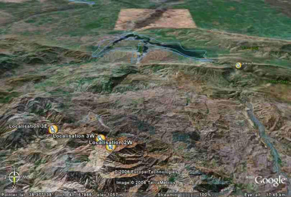
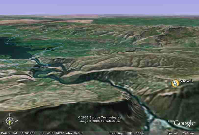
Trial locations, viewing to south.
An early landscape render of "View 1", one of the points in the preceding Google Earth image.
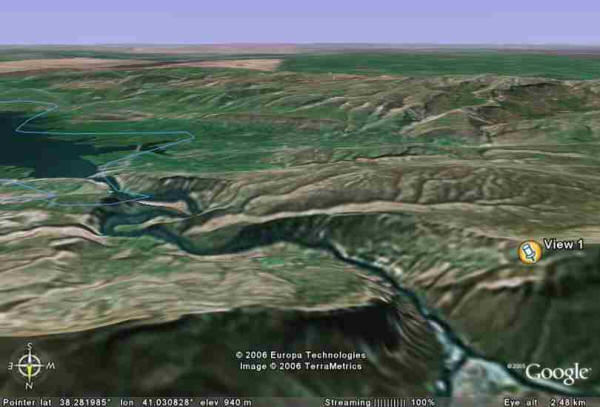
From east of View 1, looking south. Note the large lake, for comparison with the landscape render in the next view.
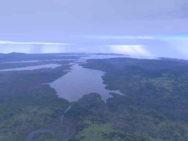
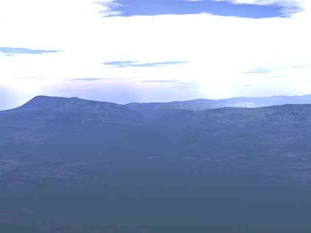
Render of view from View 1 to southeast. Note the sky. In this epoch the sky was almost totally overcast, all the time.
Parks feels that this image captures the "look" of the place and time.
Subsequent images in this study, to date, are indifferent with respect to the sky, usually just showing a crude gray or even sunlight that should not be there, for purposes of rapid computation or to assist in
visualizing detail.
Later we will return to elaborately
constructed sky images.
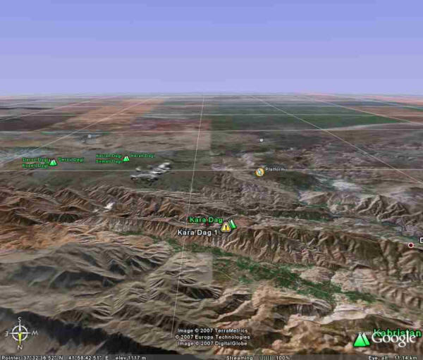
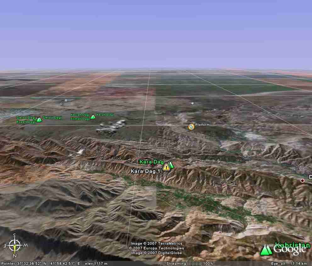
This location was our choice for the Kharsag 1 area. The high ground that was the position of the Kharsag 1 headquarters is one of several designated Kara Dag on the Google Earth maps of the Taurus Mountains. We numbered them all, dubbing this one Kara Dag 1. We are viewing to the south.
Just to the north (toward the bottom of image), the green valley below the ridge was the site of Ninmah's Garden, not to be confused with the agricultural development on the "Edin Plain", unmarked but visible in the distant south, which is remembered in the Bible as the Garden of Eden.
Edin was actually a work camp and a place of dreadful hardship for the workers there. The platform south of Kara Dag 1 was Enlil's customary vantage point for watching the ongoing work with the aid of high-tech viewing systems.
We will be sure to render a watercourse through the valley of Ninmah's Garden and appropriate vegetation, originally cedar, pine, poplar, and willows along the stream.
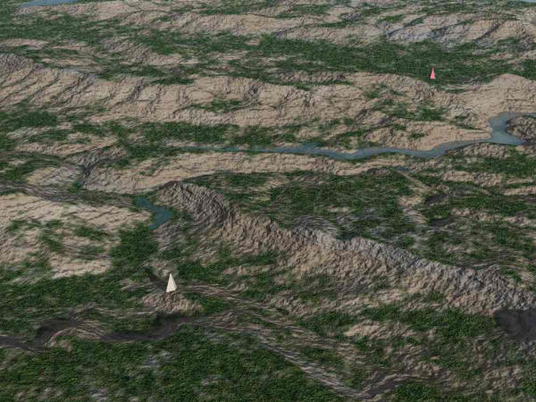
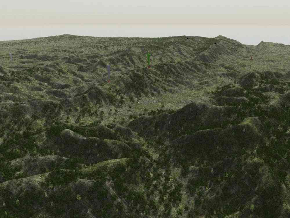
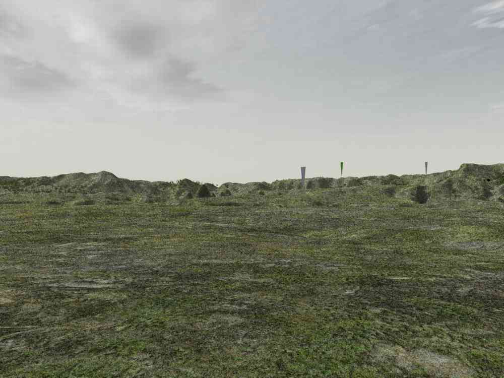
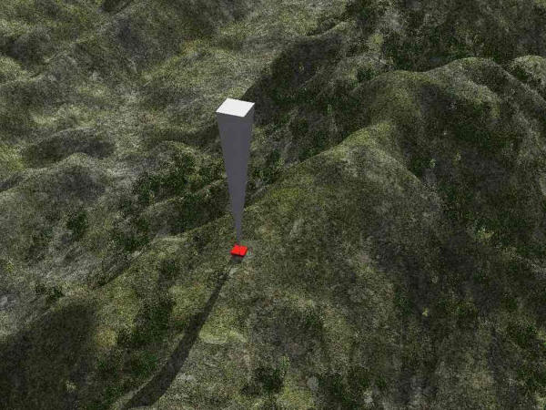
A view from farther south, over the platform. Here we first used color pylons as localization markers. The white pylon indicates our placement of Enlil's vantage point. The red pylon in the distance marks the main building location at Kharsag 1.
The intervening river was not present in Parks' memory, and we will remove it or actually relocate it to the east.
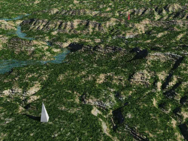
Similar to the preceding but the "camera" (viewpoint) is closer to the ground, there has been some work on the vegetation, and the ground texture is different.
Experimenting with ground texture and covering was ongoing throughout this study.
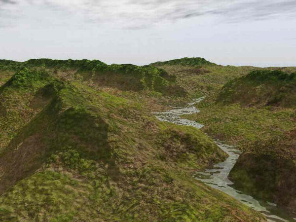
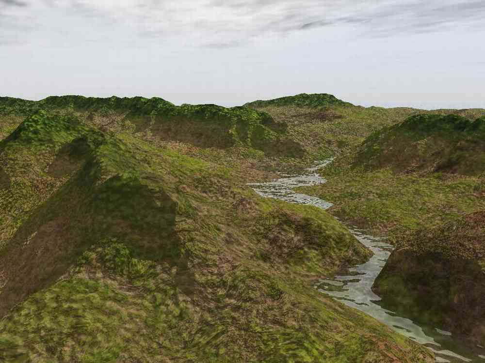
Groundcover along the stream shown in previous two images. Some late afternoon sunlight was applied for greater visibility.
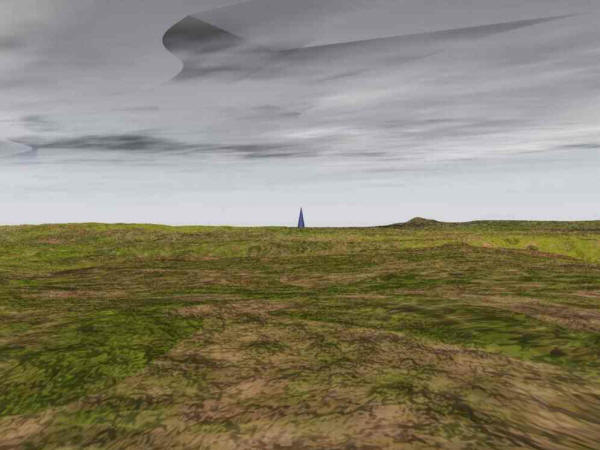
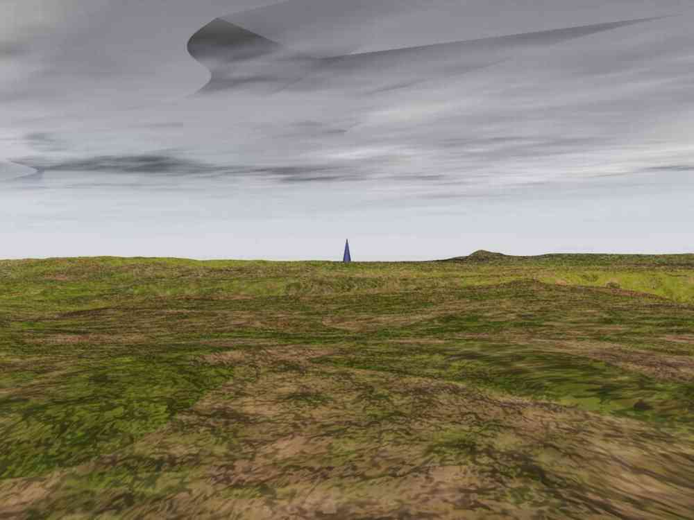
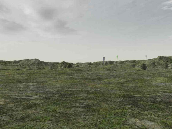
Looking south from Enlil's viewing area ("platform") toward the Edin * Plain in the south. A blue pylon was placed there. Note that the base of the pylon cannot be seen. This was unacceptable and we responded by raising the entire platform, with the thinking that the great upheaval with the Mulge-Tab encounter could have lowered it.
Sky artifact was caused by render setting optimized for speed.
* Parks distinguishes between the Edin Plain, Enlil's agricultural slave labor camp, and Ninmah's Garden in the valley north of Kharsag proper, for which he uses the spelling Eden. Ninmah's Garden was more of an experimental station where varieties of fruits and vegetables were developed. We will have more discussion of this subject.
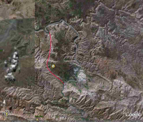
The platform area, shown with south at top, indicating the desired new routing of the river (in red). This was accomplished, and the platform was raised.
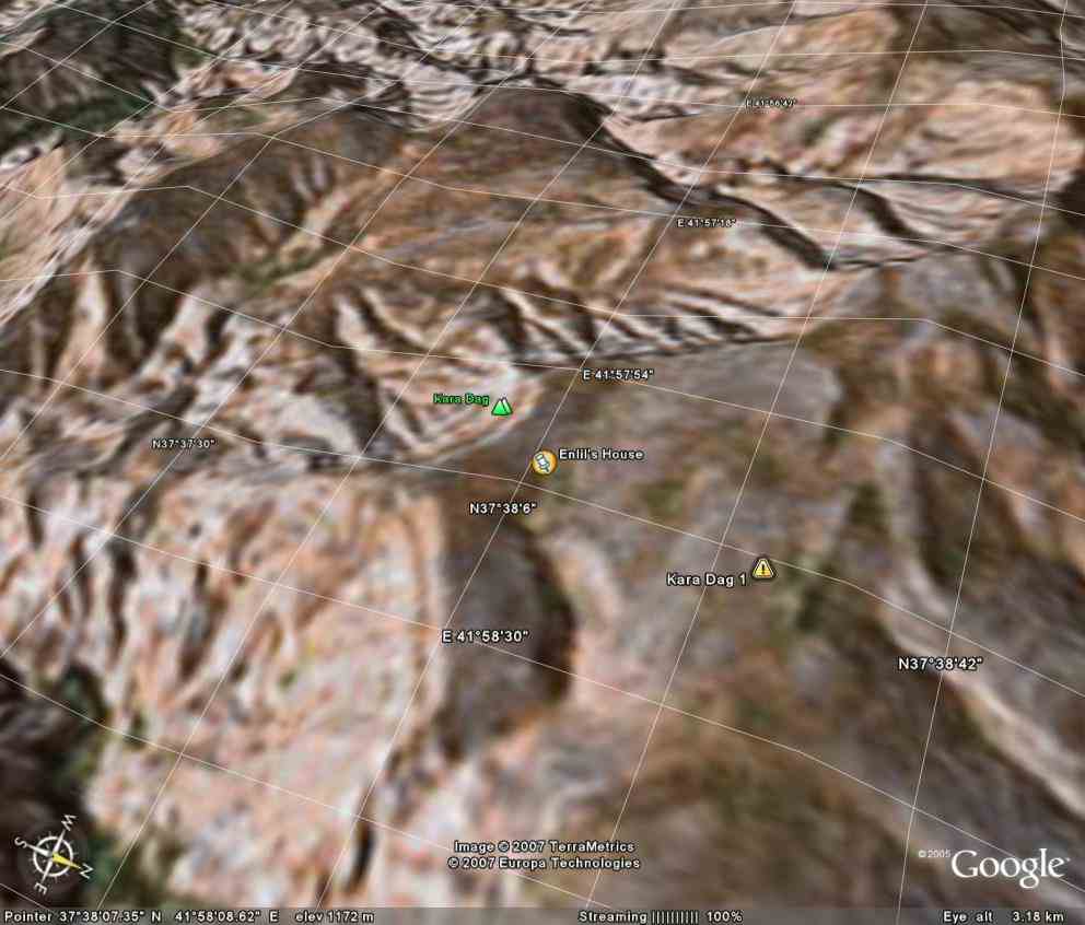
A closer look at the valley that will be Ninmah's Garden. Position of Enlil's house is indicated on the ridge beyond.
Close-up of the position of Enlil's house; view to SW. Ninmah's Garden would be off to the lower right. We have not yet discussed the architecture of the various buildings.

Enlil's house position as seen in Google Earth.
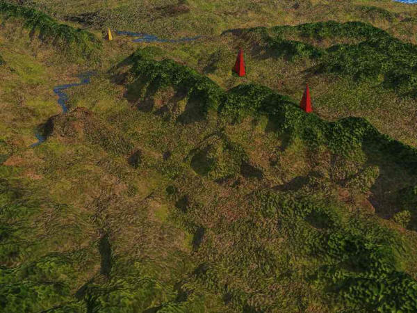
From right, the locations of the main Kharsag 1 headquarters building, Enlil's house, and Enki's house down in the valley (Ninmah's valley).
The watercourse has been added but the willows etc. have not yet been placed in this image.
This is what you would see from near the base of the blue pylon, looking north. Note that the entire white pylon (Enlil's favorite viewing place) is visible now, because the terrain was raised.
This means of course that Enlil can see YOU, which was almost constantly the case.
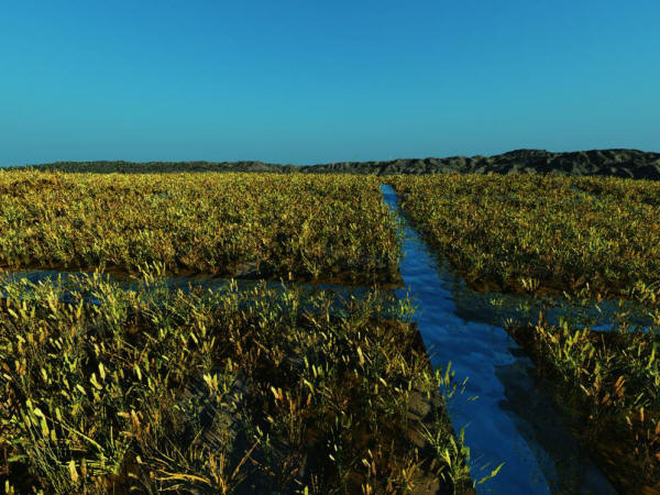
Growing wheat on the Edin Plain. View to the north. What is the most important element of this picture?
The system of irrigation canals is the most important construction project ever undertaken by humans... because the human race was introduced precisely in order to build it. Blue sky courtesy Ama'argi at the request of An.
Note: the most ancient variety of wheat cultivated by man is known as Einkorn, and the earliest discovered remains of it have been found in the Karadag mountains of Turkey.